


Returns and exchanges are accomodated on a case by case basis.
To be eligible for a return your item(s) must be in the same condition they were received, have all the tags and original packaging attached and/or intact, and be unused/unworn. Please contact the shop before proceeding with shipping your return.
Please note that return shipping costs are not covered.
Read more about our return policy here.
$50.00 minimum order to qualify for shipping. $15.00 flat rate in Canada on orders under $200.00. Orders over $200.00 ship for free in Canada. Oversize charges may apply.
Once your order has been placed it is our priority to have your items packed and delivered to our shipping partner by the following business day.
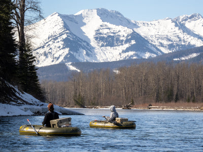
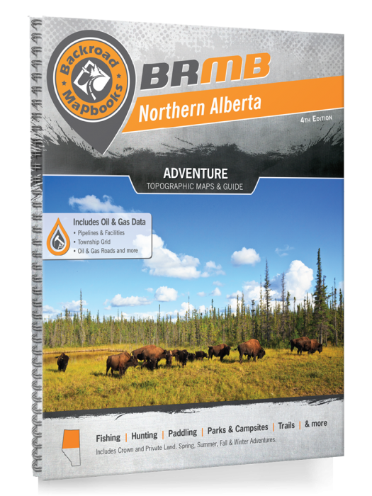
From the imposing, world-famous peaks of the Rocky Mountains in the west to the seemingly endless fields of wheat and canola in the east, Southern Alberta is a land of great contrast, with recreation opportunities as diverse as its landscape. The Rockies are the most dramatic part of this region and attract hikers, campers and mountaineers from across the globe, while anglers and whitewater rafters ply and play in the mountains' many streams. As you make your way east, you will discover fertile hunting grounds and endless ATV trails, with a wide-open prairie landscape that will stir your adventurer's soul and inspire you to take the road less travelled.
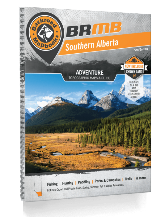
The latest edition of our Southern Alberta Backroad Mapbook features Crown Land areas, including new Conservation Sites and updated and Public Land Use Zones, labelled fish species for individual fishing lakes and bonus large scale park maps for Banff, Peter Lougheed and Waterton Parks along with an overview park map for Glacier National Park in the states. This Mapbook also contains fish stocking charts for the area's main stocked species, along with trail charts for several parks and the Great Trail/Trans Canada Trail. We have also included a Backcountry Huts and Lodges section among our carefully researched Adventure listings.
The printed version of the mapbook comes in the convenient 21.5 x 28 cm (8.5 x 11 inch) mapbook format with a heavy-duty spiral-bound cover. The 216 page book includes 59 maps at 1:225,000 scale plus 8 bonus park maps, along with 11 Outdoor Adventure sections, a Service Provider Directory, Map and Adventure Index, Trip Planning tools and more. With over 130,000 kilometers of roads to view including the most complete logging and industrial road coverage available, the books are ideal for navigating on road trips and planning from home.